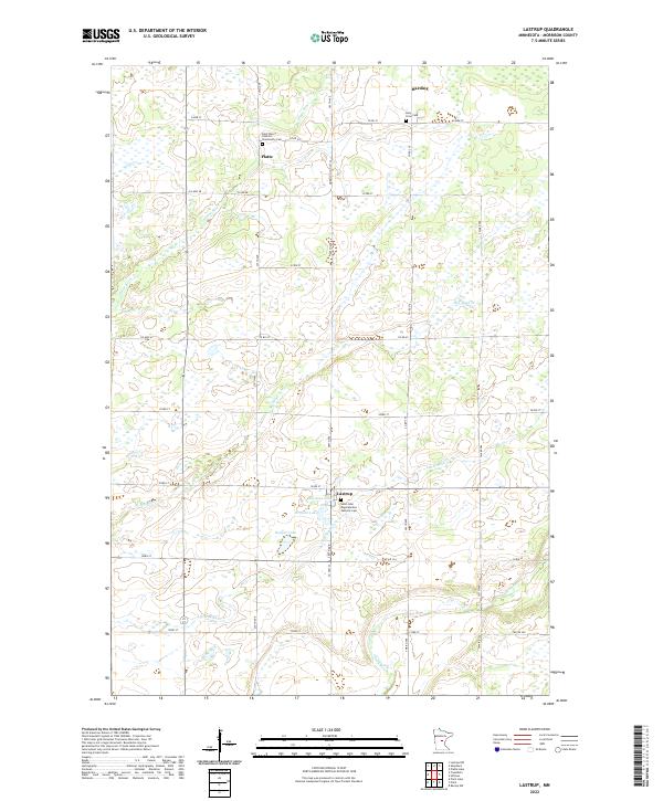
2022 Map of Lastrup
USGS Topo · Published 2022About this map
Lastrup and Platte anchor this central Minnesota landscape, where the drainage systems of the Platte River and Skunk River define the local topography. This 2022 edition provides a clear view of the rural township structure in Morrison County, characterized by a dense network of local roads such as CO Hwy 48 and 203rd St. The settlement pattern is deeply connected to Catholic parish life, as evidenced by the distribution of religious landmarks and burial grounds.
Find a feature on this map
36 named features on this map. Tap any name to fly to it.
Don’t see what you’re looking for? This feature index may not catch every label — zoom into the map to look around manually.
Map Details
Editions of this 2022 Lastrup Map
This is the sole edition of this map. No revisions or reprints were ever made.
Other maps of this area

1948 · Pierz
USGS Topo · 1:62,500

1948 · Lastrup
USGS Topo · 1:62,500

1950 · Lastrup
USGS Topo · 1:62,500

1950 · Pierz
USGS Topo · 1:62,500

1953 · Duluth
USGS Topo · 1:250,000

1953 · Brainerd
USGS Topo · 1:250,000

1953 · Saint Cloud
USGS Topo · 1:250,000

1953 · Stillwater
USGS Topo · 1:250,000

1955 · Stillwater
USGS Topo · 1:250,000

1957 · Brainerd
USGS Topo · 1:250,000