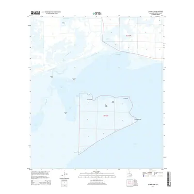
2015 Map of Latania Lake
USGS Topo · Published 2015About this map
The Intracoastal Waterway cuts a straight path across this wet landscape in Cameron Parish, serving as the primary transit corridor through a maze of marsh and open water. This 2015 study shows the complex hydrology of the region, where the Bayou Lacassine winds south toward Mud Lake and the eponymous Latania Lake. The terrain is characterized by slightly elevated features like Onion Hill, Latania Hill, and the linear stretches of Flat Ridge and Wild Ridge, which offer rare vertical relief in the low-lying wetlands. To the south, the massive expanse of Grand Lake dominates the horizon, while the northern sections are defined by various man-made channels such as Willow Cutoff and Long Cutoff. This network of bayous and cutoffs reflects the area's history of water management and navigation, punctuated by landmarks like Lacassine Point and Hackberry Point that help orient mariners and locals alike.
Find a feature on this map
26 named features on this map. Tap any name to fly to it.
Don’t see what you’re looking for? This feature index may not catch every label — zoom into the map to look around manually.
Map Details
Editions of this 2015 Latania Lake Map
This is the sole edition of this map. No revisions or reprints were ever made.
Other maps of this area

1934 · Catfish Lake
USGS Topo · 1:24,000

1934 · Lake Misere
USGS Topo · 1:24,000

1934 · Latania Lake
USGS Topo · 1:24,000

1935 · Lake Misere
USGS Topo · 1:31,680

1935 · Catfish Lake
USGS Topo · 1:31,680

1935 · Latania Lake
USGS Topo · 1:31,680

1935 · Grand Chenier
USGS Topo · 1:31,680

1946 · Lake Arthur
USGS Topo · 1:31,680

1946 · Hayes
USGS Topo · 1:31,680

1947 · Thornwell
USGS Topo · 1:31,680