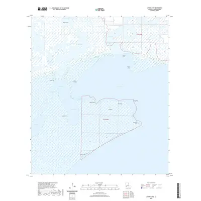
2020 Map of Latania Lake
USGS Topo · Published 2020About this map
The Intracoastal Waterway cuts a straight path through the low-lying wetlands of southern Louisiana, serving as the central artery for this remote Cameron Parish landscape. Dominating the geography are massive expanses of water and marsh, including Grand Lake, Lake Arthur, and the namesake Latania Lake. The topography is defined by subtle rises such as Onion Hill and Latania Hill, and finger-like landforms extending into the water like Hackberry Point and Grassy Point.
Find a feature on this map
27 named features on this map. Tap any name to fly to it.
Don’t see what you’re looking for? This feature index may not catch every label — zoom into the map to look around manually.
Map Details
Editions of this 2020 Latania Lake Map
This is the sole edition of this map. No revisions or reprints were ever made.
Other maps of this area

1934 · Catfish Lake
USGS Topo · 1:24,000

1934 · Lake Misere
USGS Topo · 1:24,000

1934 · Latania Lake
USGS Topo · 1:24,000

1935 · Lake Misere
USGS Topo · 1:31,680

1935 · Catfish Lake
USGS Topo · 1:31,680

1935 · Latania Lake
USGS Topo · 1:31,680

1935 · Grand Chenier
USGS Topo · 1:31,680

1946 · Lake Arthur
USGS Topo · 1:31,680

1946 · Hayes
USGS Topo · 1:31,680

1947 · Thornwell
USGS Topo · 1:31,680