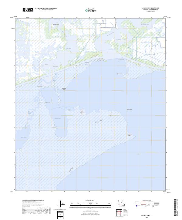
2024 Map of Latania Lake
USGS Topo · Published 2024About this map
The expansive wetlands of the Lacassine National Wildlife Refuge dominate this part of Cameron Parish, where complex water systems define the geography. The Intracoastal Waterway cuts a distinct horizontal path across the landscape, linking the eastern reach of Lake Arthur and the Mermentau River with the broader coastal marsh. This aquatic network is punctuated by natural landmarks like Onion Hill and Latania Hill, which provide rare verticality in a world of bayous and basins.
Find a feature on this map
29 named features on this map. Tap any name to fly to it.
Don’t see what you’re looking for? This feature index may not catch every label — zoom into the map to look around manually.
Map Details
Editions of this 2024 Latania Lake Map
This is the sole edition of this map. No revisions or reprints were ever made.
Other maps of this area

1934 · Catfish Lake
USGS Topo · 1:24,000

1934 · Lake Misere
USGS Topo · 1:24,000

1934 · Latania Lake
USGS Topo · 1:24,000

1935 · Lake Misere
USGS Topo · 1:31,680

1935 · Catfish Lake
USGS Topo · 1:31,680

1935 · Latania Lake
USGS Topo · 1:31,680

1935 · Grand Chenier
USGS Topo · 1:31,680

1946 · Lake Arthur
USGS Topo · 1:31,680

1946 · Hayes
USGS Topo · 1:31,680

1947 · Thornwell
USGS Topo · 1:31,680