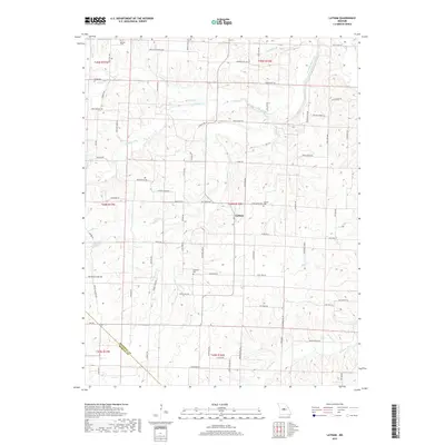
2017 Map of Latham
USGS Topo · Published 2017About this map
The unincorporated community of Latham sits near the heart of this Moniteau County landscape, where the headwaters of numerous Missouri streams begin their descent toward the Missouri River. The terrain is defined by the branching networks of North Moreau Creek, Straight Fork, and Burris Fork, which carve narrow valleys through the agricultural uplands. This area maintains a strong rural character, evidenced by the network of local roads named for early families and community landmarks, such as Chicken House Rd and Moser Rd.
Find a feature on this map
85 named features on this map. Tap any name to fly to it.
Don’t see what you’re looking for? This feature index may not catch every label — zoom into the map to look around manually.
Map Details
Editions of this 2017 Latham Map
This is the sole edition of this map. No revisions or reprints were ever made.
Other maps of this area

1888 · Versailles
USGS Topo · 1:125,000

1888 · Boonville
USGS Topo · 1:125,000

1893 · Versailles
USGS Topo · 1:125,000

1904 · Eldon
USGS Topo · 1:62,500

1904 · Gravois Mills
USGS Topo · 1:62,500

1947 · Jefferson City
USGS Topo · 1:250,000

1949 · Gravois Mills
USGS Topo · 1:62,500

1951 · California South
USGS Topo · 1:24,000

1951 · Latham
USGS Topo · 1:24,000

1952 · Tipton
USGS Topo · 1:24,000