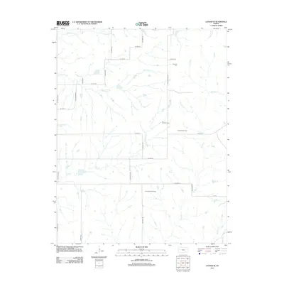
2012 Map of Latham SE
USGS Topo · Published 2012About this map
The Elk River Wind Farm dominates this section of the Kansas Flint Hills, representing the modern energy landscape alongside the region's traditional petroleum extraction. This 2012 survey illustrates a transition in resource management, where established sites like the Ferrell Oil Field, Ferrell South Oil Field, and Shinn Northeast Oil Field share the terrain with renewable energy infrastructure. The drainage patterns of the Elk River and Rock Cr carve through the land, supported by a network of secondary roads such as Rattlesnake Rd and Latham-Beaumont Rd. The map provides a detailed look at the watershed of Grouse Cr and Wagoner Cr, documenting the rural road grid and land use in this specific corner of Butler County during the early 21st century.
Find a feature on this map
30 named features on this map. Tap any name to fly to it.
Don’t see what you’re looking for? This feature index may not catch every label — zoom into the map to look around manually.
Map Details
Editions of this 2012 Latham SE Map
This is the sole edition of this map. No revisions or reprints were ever made.
Other maps of this area

1885 · Eureka
USGS Topo · 1:125,000

1885 · Sedan
USGS Topo · 1:125,000

1888 · Eureka
USGS Topo · 1:125,000

1888 · Eldorado
USGS Topo · 1:125,000

1889 · Burden
USGS Topo · 1:125,000

1889 · Sedan
USGS Topo · 1:125,000

1894 · Eureka
USGS Topo · 1:125,000

1955 · Wichita
USGS Topo · 1:250,000

1958 · Wichita
USGS Topo · 1:250,000
1964 · Piedmont SW
USGS Topo · 1:24,000