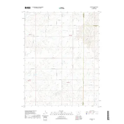
2018 Map of Latham SE
USGS Topo · Published 2018About this map
The Elk River flows across this rural landscape where Butler, Greenwood, and Elk counties converge. This 2018 survey illustrates a highly dissected prairie environment defined by the headwaters of numerous southward-draining streams. The area is dominated by the upper reaches of Grouse Cr and Rock Cr, which carve deep drainage patterns into the Flint Hills. Local transportation is managed through a network of section-line roads, including Rattlesnake Rd and Flinthills Rd, which serve the expansive ranchlands and grazing territories of the region.
Find a feature on this map
36 named features on this map. Tap any name to fly to it.
Don’t see what you’re looking for? This feature index may not catch every label — zoom into the map to look around manually.
Map Details
Editions of this 2018 Latham SE Map
This is the sole edition of this map. No revisions or reprints were ever made.
Other maps of this area

1885 · Eureka
USGS Topo · 1:125,000

1885 · Sedan
USGS Topo · 1:125,000

1888 · Eureka
USGS Topo · 1:125,000

1888 · Eldorado
USGS Topo · 1:125,000

1889 · Burden
USGS Topo · 1:125,000

1889 · Sedan
USGS Topo · 1:125,000

1894 · Eureka
USGS Topo · 1:125,000

1955 · Wichita
USGS Topo · 1:250,000

1958 · Wichita
USGS Topo · 1:250,000
1964 · Piedmont SW
USGS Topo · 1:24,000