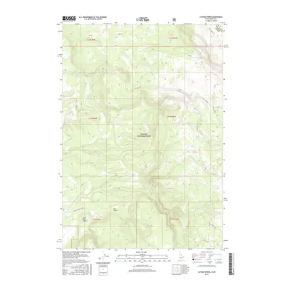
2017 Map of Latham Spring
USGS Topo · Published 2017About this map
The Targhee National Forest defines the rugged geography of this borderland, where the high-altitude terrain of Gallatin County, Montana meets the Idaho state line. This 2017 survey details a landscape shaped by massive geologic forces, notably the northern edge of the Island Park Caldera and the deep incision of Black Canyon. A complex drainage network of seasonal and perennial streams, including Thirsty Creek, Moose Creek, and Fish Creek, carves through the forest, emphasizing the area's importance as a mountain watershed.
Find a feature on this map
29 named features on this map. Tap any name to fly to it.
Don’t see what you’re looking for? This feature index may not catch every label — zoom into the map to look around manually.
Map Details
Editions of this 2017 Latham Spring Map
This is the sole edition of this map. No revisions or reprints were ever made.
Other maps of this area

1955 · Ashton
USGS Topo · 1:250,000

1957 · Buffalo Lake
USGS Topo · 1:62,500

1958 · Ashton
USGS Topo · 1:250,000

1958 · West Yellowstone
USGS Topo · 1:62,500

1960 · Ashton
USGS Topo · 1:250,000

1964 · Hatchery Butte
USGS Topo · 1:24,000

1964 · Island Park
USGS Topo · 1:24,000

1964 · Big Springs
USGS Topo · 1:24,000

1964 · Henrys Lake
USGS Topo · 1:62,500
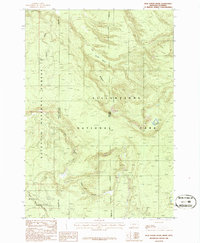
1986 · Jack Straw Basin
USGS Topo · 1:24,000