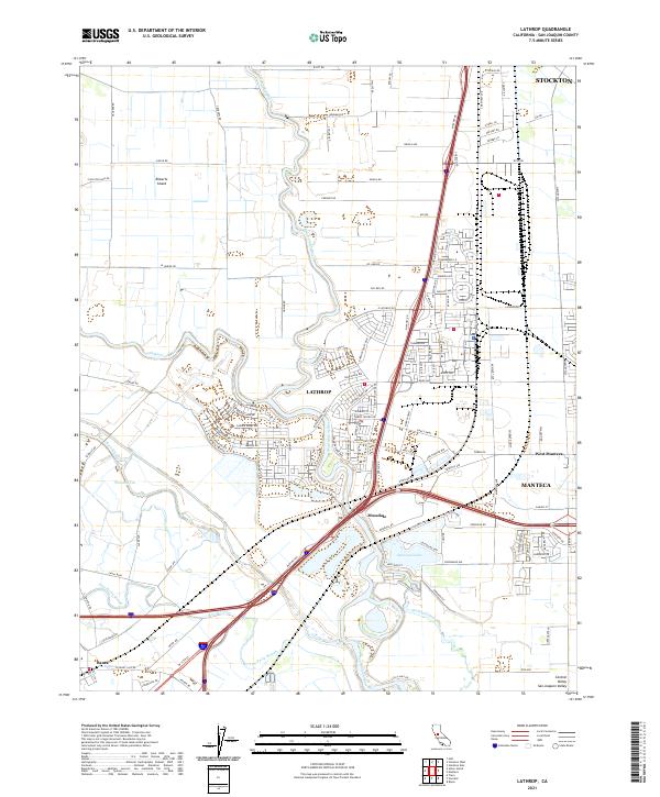
2021 Map of Lathrop
USGS Topo · Published 2021About this map
The San Joaquin River meanders through this portion of the Central Valley, defining the landscape around Lathrop and Manteca. This 2021 survey shows a complex network of waterways, including Old River, Paradise Cut, and Tom Paine Slough, which weave through the agricultural and residential corridors. The map records the modern footprint of West Manteca and Mossdale, while highlighting the transition from the levee-protected fields of Roberts Island to the expanding suburbs.
Find a feature on this map
61 named features on this map. Tap any name to fly to it.
Don’t see what you’re looking for? This feature index may not catch every label — zoom into the map to look around manually.
Map Details
Editions of this 2021 Lathrop Map
This is the sole edition of this map. No revisions or reprints were ever made.
Other maps of this area

1913 · Stockton
USGS Topo · 1:31,680

1913 · Holt
USGS Topo · 1:31,680

1914 · Burnham
USGS Topo · 1:31,680

1914 · Manteca
USGS Topo · 1:31,680

1914 · Union Island
USGS Topo · 1:31,680

1915 · Vernalis
USGS Topo · 1:31,680

1915 · Lathrop
USGS Topo · 1:31,680

1915 · Ripon
USGS Topo · 1:31,680

1916 · Tracy
USGS Topo · 1:31,680

1922 · Carbona
USGS Topo · 1:62,500