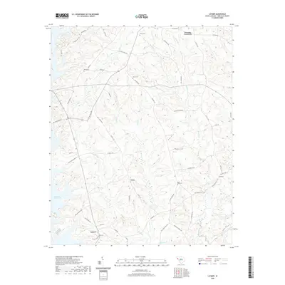
2020 Map of Latimer
USGS Topo · Published 2020About this map
Richard B Russell Lake dominates the western edge of this South Carolina landscape, where the waters of the Little River and Gill Cr meet the impounded basin. This modern survey illustrates a rural landscape where ancestral landmarks are preserved amidst shifting land use. Small settlements like Brownlee Crossroads and Latimer anchor a network of country roads including Bulls Horne Rd and Old Calhoun Falls Hwy. The map is particularly notable for its density of burial sites, which include Old Rocky River Cem, Saint Johns Cem, and Midway Cem. These features, alongside family-named roads such as Clinksales Rd and Nation Rd, offer significant detail for tracing local lineage and the enduring geography of Abbeville County.
Find a feature on this map
60 named features on this map. Tap any name to fly to it.
Don’t see what you’re looking for? This feature index may not catch every label — zoom into the map to look around manually.
Map Details
Editions of this 2020 Latimer Map
This is the sole edition of this map. No revisions or reprints were ever made.
Other maps of this area

1892 · Abbeville
USGS Topo · 1:125,000

1893 · Elberton
USGS Topo · 1:125,000

1948 · Abbeville West
USGS Topo · 1:24,000

1949 · Abbeville
USGS Topo · 1:24,000

1949 · Calhoun Creek
USGS Topo · 1:24,000

1954 · Greenville
USGS Topo · 1:250,000

1958 · Greenville
USGS Topo · 1:250,000

1964 · Iva
USGS Topo · 1:24,000

1964 · Antreville
USGS Topo · 1:24,000

1964 · Lowndesville
USGS Topo · 1:24,000