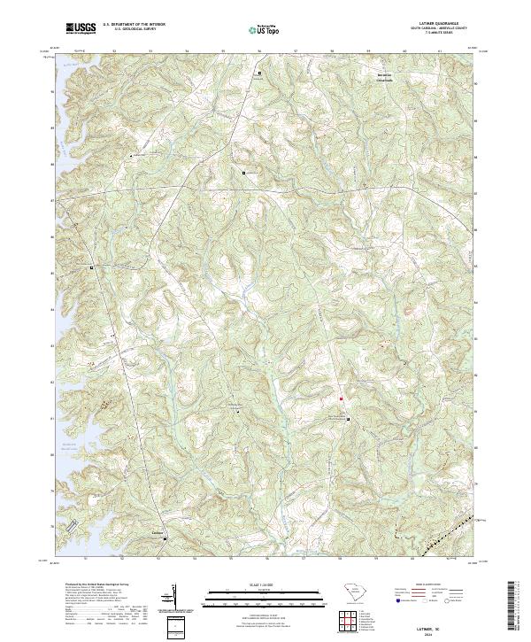
2024 Map of Latimer
USGS Topo · Published 2024About this map
The Rocky River and its western tributary network define the topography of this Abbeville County landscape. Several cemeteries throughout the area, including the Old Rocky River Graveyard and Rocky River Presbyterian Church Graveyard, offer significant points of interest for genealogical research and local heritage. Small settlements like Latimer near the southern boundary and Brownlee Crossroads in the north provide clear markers of the region's historical community centers. To the west, the presence of Richard B Russell Lake indicates the modern transformation of the river valley, while numerous creeks such as Morrow Creek and Shanklin Creek drain the surrounding terrain. Family names are preserved in the road network through labels like Will C Johnson Rd and C B Allen Rd, suggesting the historical distribution of land and residences in this part of South Carolina.
Find a feature on this map
59 named features on this map. Tap any name to fly to it.
Don’t see what you’re looking for? This feature index may not catch every label — zoom into the map to look around manually.
Map Details
Editions of this 2024 Latimer Map
This is the sole edition of this map. No revisions or reprints were ever made.
Other maps of this area

1892 · Abbeville
USGS Topo · 1:125,000

1893 · Elberton
USGS Topo · 1:125,000

1948 · Abbeville West
USGS Topo · 1:24,000

1949 · Abbeville
USGS Topo · 1:24,000

1949 · Calhoun Creek
USGS Topo · 1:24,000

1954 · Greenville
USGS Topo · 1:250,000

1958 · Greenville
USGS Topo · 1:250,000

1964 · Iva
USGS Topo · 1:24,000

1964 · Antreville
USGS Topo · 1:24,000

1964 · Lowndesville
USGS Topo · 1:24,000