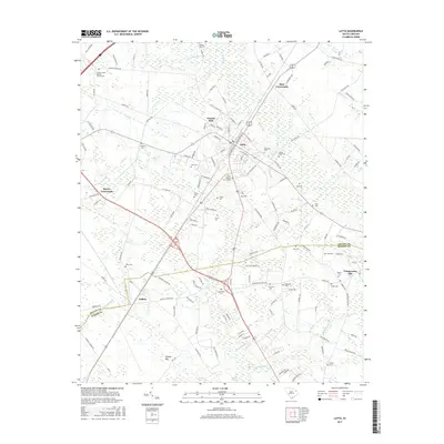
2017 Map of Latta
USGS Topo · Published 2017About this map
Latta serves as the central hub of this Pee Dee region landscape, where the CSX rail line intersects the street grid near the residential community of Forrest Hills. The area is defined by a distinct Carolina Bay topography, evidenced by the large, oval depressions of Pigeon Bay and Ellerbe Bay that influence local drainage and road patterns. Beyond the primary settlements of Sellers and Temperance Hill, the map reveals a dense network of family and community burial grounds, including the Catfish Creek Baptist Church Cem and Magnolia Cem. This distribution of cemeteries and small rural junctions like Bass Crossroads and Berrys Crossroads provides a detailed look at the historic settlement patterns of Dillon and Marion counties. The hydrological character of the land is further established by Catfish Swamp and meandering tributaries such as Little Reedy Cr and Boggy Branch.
Find a feature on this map
148 named features on this map. Tap any name to fly to it.
Don’t see what you’re looking for? This feature index may not catch every label — zoom into the map to look around manually.
Map Details
Editions of this 2017 Latta Map
This is the sole edition of this map. No revisions or reprints were ever made.
Other maps of this area

1940 · Florence East
USGS Topo · 1:62,500

1943 · Gum Swamp
USGS Topo · 1:62,500

1945 · Florence East
USGS Topo · 1:62,500

1946 · Mullins
USGS Topo · 1:24,000

1947 · Marion
USGS Topo · 1:24,000

1947 · Mullins
USGS Topo · 1:24,000

1953 · Florence
USGS Topo · 1:250,000

1954 · Florence
USGS Topo · 1:250,000

1959 · Fork
USGS Topo · 1:24,000

1960 · Latta
USGS Topo · 1:24,000