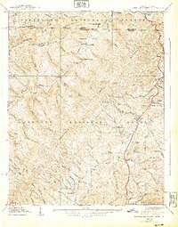
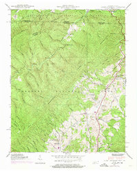
1938 Map of Laurel Bloomery
USGS Topo · Published 1938About this map
CCC Camp Mc Arthur sits along the Tennessee-Virginia state line in this 1938 survey, highlighting the era's federal presence within the Jefferson National Forest and Cherokee National Forest. The landscape is dominated by the Iron Mountains and Holston Mountain, where ridges like Backbone Ridge and landmarks such as Backbone Rock overlook the winding Beaverdam Creek.
Find a feature on this map
93 named features on this map. Tap any name to fly to it.
Don’t see what you’re looking for? This feature index may not catch every label — zoom into the map to look around manually.
Map Details
Editions of this 1938 Laurel Bloomery Map
5 editions found
Other maps of this area

1891 · Abingdon
USGS Topo · 1:125,000

1893 · Cranberry
USGS Topo · 1:125,000

1894 · Abingdon
USGS Topo · 1:125,000

1895 · Cranberry
USGS Topo · 1:125,000

1899 · Cranberry
USGS Topo · 1:125,000

1902 · Cranberry
USGS Topo · 1:125,000

1909 · Abingdon
USGS Topo · 1:96,000

1911 · Abingdon
USGS Topo · 1:125,000

1935 · Konnarock
USGS Topo · 1:24,000
1935 · Abingdon
USGS Topo · 1:24,000