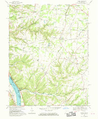
1968 Map of Laurel
USGS Topo · Published 1970About this map
Point Pleasant and the Ohio River shoreline dominate the southwestern corner of this survey, which captures the rural character of Clermont County in the late 1960s. The landscape is a network of ridges and deep drainage runs, where small agricultural settlements like Nicholsville, Laurel, and Saltair serve as local hubs. Along the river, Light Roadside Park and landmarks like Light 444 indicate the importance of the waterway, while inland, the preservation of the Crane Schoolhouse and several country churches like Mt Pisgah Ch and Spring Grove Chapel reflect the area's deep-rooted community structure. The map also documents many family-named cemeteries, including Monroe Cem and Sugartree Cem, providing essential details for genealogical research. Numerous minor drainages like Twelvemile Creek, Sugar Creek, and Back Run carve through the townships of Monroe and Washington, illustrating the challenging topography that shaped local road development.
Find a feature on this map
80 named features on this map. Tap any name to fly to it.
Don’t see what you’re looking for? This feature index may not catch every label — zoom into the map to look around manually.
Map Details
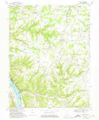
Editions of this 1968 Laurel Map
2 editions found
Other maps of this area

1898 · East Cincinnati
USGS Topo · 1:62,500

1914 · East Cincinnati
USGS Topo · 1:62,500

1914 · Batavia
USGS Topo · 1:48,000

1916 · Batavia
USGS Topo · 1:62,500

1929 · Alexandria
USGS Topo · 1:48,000

1931 · Felicity
USGS Topo · 1:62,500

1936 · Alexandria
USGS Topo · 1:62,500

1953 · Laurel
USGS Topo · 1:24,000

1953 · Withamsville
USGS Topo · 1:24,000

1953 · Bethel
USGS Topo · 1:24,000