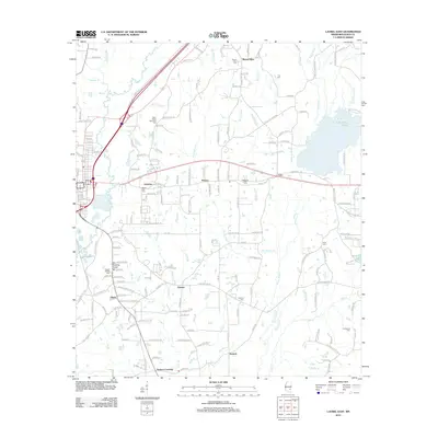
2012 Map of Laurel East
USGS Topo · Published 2012About this map
Tallahala Creek and the meandering course of Bogue Homo dominate this landscape east of Laurel, where several small communities and timber-related features define the geography. The map reveals a distribution of rural settlements such as Glade, Antioch, and Tuckers Crossing, each anchored by local landmarks like the Old Meeting House and the Glade Baptist Church. To the east, industrial and recreational water bodies including Masonite Lake and Lake Bogue Homo provide evidence of the region's managed natural resources. Genealogists will find a high density of small burial grounds, from the Nora Davis Memorial Cemetery in the north to the Providence Cemetery in the southeast. The intricate network of drainage, including Bogue Cheely and Blacksnake Creek, illustrates the complex hydrology of Jones County before these streams reach the larger river basins.
Find a feature on this map
162 named features on this map. Tap any name to fly to it.
Don’t see what you’re looking for? This feature index may not catch every label — zoom into the map to look around manually.
Map Details
Editions of this 2012 Laurel East Map
This is the sole edition of this map. No revisions or reprints were ever made.
Other maps of this area

1953 · Hattiesburg
USGS Topo · 1:250,000

1958 · Hattiesburg
USGS Topo · 1:250,000

1964 · Heidelberg SW
USGS Topo · 1:24,000

1964 · Moss
USGS Topo · 1:24,000

1964 · Sandersville
USGS Topo · 1:24,000

1964 · Laurel East
USGS Topo · 1:24,000

1964 · Laurel West
USGS Topo · 1:24,000

1964 · Ellisville
USGS Topo · 1:24,000

1964 · Myrick
USGS Topo · 1:24,000

1964 · Strengthford
USGS Topo · 1:24,000