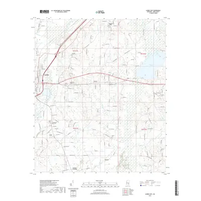
2018 Map of Laurel East
USGS Topo · Published 2018About this map
Laurel serves as the urban anchor for this portion of Jones County, where residential streets give way to a landscape of creeks and small crossroads communities. To the east, the waters of Bogue Homo and the significant Lake Bogue Homo dominate the terrain, while Masonite Lake lies further south. The area is dense with sites of genealogical interest, from the Nora Davis Memorial Cem near the northern edge to the Old Meeting House Hill near Glade. These locations, along with others like Mount Olive Cem and Antioch Cem, reflect the long-standing family settlements that define rural Mississippi life. Small clusters of development at Eastview, Powers, and Cleo illustrate the transition from Laurel's industrial core to the piney woods and pasture lands surrounding Tuckers Crossing.
Find a feature on this map
171 named features on this map. Tap any name to fly to it.
Don’t see what you’re looking for? This feature index may not catch every label — zoom into the map to look around manually.
Map Details
Editions of this 2018 Laurel East Map
This is the sole edition of this map. No revisions or reprints were ever made.
Other maps of this area

1953 · Hattiesburg
USGS Topo · 1:250,000

1958 · Hattiesburg
USGS Topo · 1:250,000

1964 · Heidelberg SW
USGS Topo · 1:24,000

1964 · Moss
USGS Topo · 1:24,000

1964 · Sandersville
USGS Topo · 1:24,000

1964 · Laurel East
USGS Topo · 1:24,000

1964 · Laurel West
USGS Topo · 1:24,000

1964 · Ellisville
USGS Topo · 1:24,000

1964 · Myrick
USGS Topo · 1:24,000

1964 · Strengthford
USGS Topo · 1:24,000