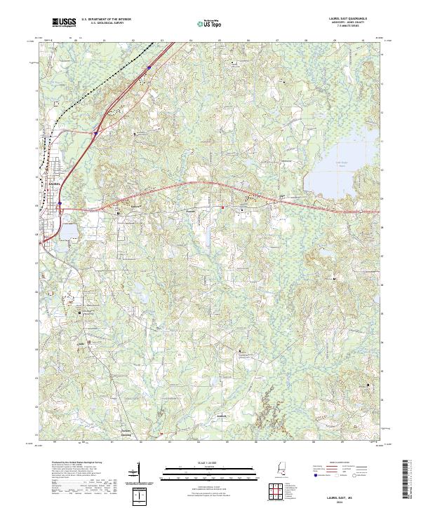
2024 Map of Laurel East
USGS Topo · Published 2024About this map
Laurel serves as the western anchor for this landscape where the piney woods meet the wetland drainages of the Bogue Homo and Tallahala Creek. The map documents a cluster of rural settlements and family landmarks such as Tuckers Crossing and Powers, situated amidst a complex network of waterways including Blacksnake Creek, Dry Swamp Creek, and Rashee Branch. The area is notably dense with community centers of historical and genealogical significance, particularly evident in the naming of sites like Old Meeting House Hill and the Antioch United Methodist Church Cem.
Find a feature on this map
118 named features on this map. Tap any name to fly to it.
Don’t see what you’re looking for? This feature index may not catch every label — zoom into the map to look around manually.
Map Details
Editions of this 2024 Laurel East Map
This is the sole edition of this map. No revisions or reprints were ever made.
Other maps of this area

1953 · Hattiesburg
USGS Topo · 1:250,000

1958 · Hattiesburg
USGS Topo · 1:250,000

1964 · Heidelberg SW
USGS Topo · 1:24,000

1964 · Moss
USGS Topo · 1:24,000

1964 · Sandersville
USGS Topo · 1:24,000

1964 · Laurel East
USGS Topo · 1:24,000

1964 · Laurel West
USGS Topo · 1:24,000

1964 · Ellisville
USGS Topo · 1:24,000

1964 · Myrick
USGS Topo · 1:24,000

1964 · Strengthford
USGS Topo · 1:24,000