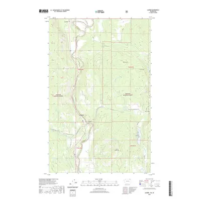
2020 Map of Laurier
USGS Topo · Published 2020About this map
The settlement of Laurier sits at the northern edge of this landscape, positioned where the Kettle River cuts through the international border. The terrain is defined by the high peaks of the Colville National Forest, including McKinley Mtn and First Thought Mtn, which overlook a network of alpine waters such as Pierre Lake, First Thought Lake, and Taylor Lake. This 2020 survey illustrates the remote industrial and recreational character of northern Ferry and Stevens counties, where the Churchill Mine and Goldstake represent the area's long-standing connection to mineral extraction.
Find a feature on this map
48 named features on this map. Tap any name to fly to it.
Don’t see what you’re looking for? This feature index may not catch every label — zoom into the map to look around manually.
Map Details
Editions of this 2020 Laurier Map
This is the sole edition of this map. No revisions or reprints were ever made.
Other maps of this area
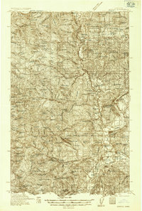
1936 · Marcus
USGS Topo · 1:96,000
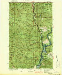
1942 · Marcus
USGS Topo · 1:125,000
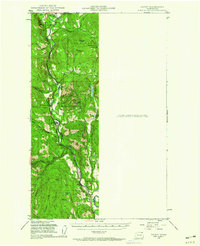
1948 · Orient
USGS Topo · 1:62,500
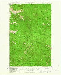
1948 · Togo Mountain
USGS Topo · 1:62,500
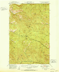
1951 · Togo Mountain
USGS Topo · 1:62,500
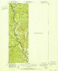
1951 · Orient
USGS Topo · 1:62,500
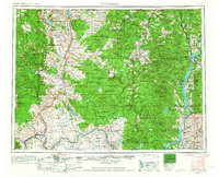
1954 · Okanogan
USGS Topo · 1:250,000
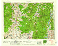
1958 · Okanogan
USGS Topo · 1:250,000
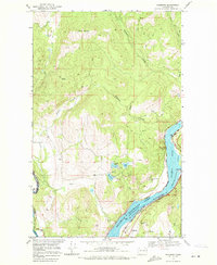
1969 · Bossburg
USGS Topo · 1:24,000
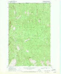
1969 · Churchill Mtn
USGS Topo · 1:24,000