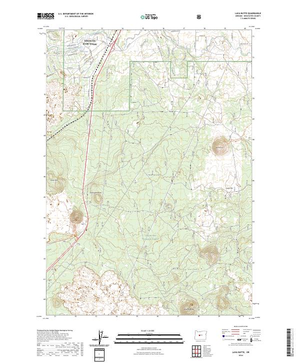
2024 Map of Lava Butte
USGS Topo · Published 2024About this map
Deschutes River Woods serves as a primary residential hub at the northern edge of this volcanic landscape, where street names like Apache Rd and Kiowa Rd define a modern mountain community. The terrain is dominated by the massive footprint of the Newberry National Volcanic Monument, featuring the iconic Lava Butte and the broad slopes of the Newberry Volcano. This contemporary survey illustrates the intersection of wild forest management and suburban expansion within the Deschutes National Forest. Significant geological features such as Huntington Butte and Bessie Butte punctuate the high desert plateau, while smaller landmarks like Baker Lake and Green Mtn provide essential reference points for local history and topography.
Find a feature on this map
58 named features on this map. Tap any name to fly to it.
Don’t see what you’re looking for? This feature index may not catch every label — zoom into the map to look around manually.
Map Details
Editions of this 2024 Lava Butte Map
This is the sole edition of this map. No revisions or reprints were ever made.
Other maps of this area

1926 · Bend
USGS Topo · 1:125,000

1929 · Bend
USGS Topo · 1:125,000

1931 · Newberry Crater
USGS Topo · 1:125,000

1935 · Newberry Crater
USGS Topo · 1:125,000

1955 · Crescent
USGS Topo · 1:250,000

1955 · Bend
USGS Topo · 1:250,000

1957 · Crescent
USGS Topo · 1:250,000

1957 · Bend
USGS Topo · 1:250,000

1958 · Crescent
USGS Topo · 1:250,000

1958 · Bend
USGS Topo · 1:250,000