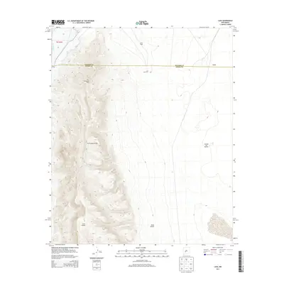
2013 Map of Lava
USGS Topo · Published 2013About this map
Fra Cristobal Range dominates the western half of this landscape, its peaks and steep drainages like Silver Canyon descending toward the Rio Grande in the northwest corner. This 2013 survey illustrates the stark transition from high mountain terrain to the broad, arid expanse of the Jornada del Muerto to the east. Human settlement is sparse, centered primarily around the railroad-adjacent location of Lava and the nearby Lava Well Ranch. The map also traces the jurisdictional boundary between Socorro and Sierra counties, which bisects the quadrangle. Notable landmarks like Lava Gate and Fra Cristobal Mtn provide essential navigational points for those studying this remote stretch of New Mexico terrain.
Find a feature on this map
10 named features on this map. Tap any name to fly to it.
Don’t see what you’re looking for? This feature index may not catch every label — zoom into the map to look around manually.
Map Details
Editions of this 2013 Lava Map
This is the sole edition of this map. No revisions or reprints were ever made.
Other maps of this area

1916 · Salinas Peak
USGS Topo · 1:125,000

1948 · Val Verde
USGS Topo · 1:62,500

1948 · Malpais Well
USGS Topo · 1:62,500

1954 · Tularosa
USGS Topo · 1:250,000

1958 · Tularosa
USGS Topo · 1:250,000

1961 · Paraje Well
USGS Topo · 1:24,000

1961 · Black Bluffs
USGS Topo · 1:24,000

1961 · Black Hill
USGS Topo · 1:24,000

1961 · Crocker
USGS Topo · 1:24,000

1961 · Lava
USGS Topo · 1:24,000