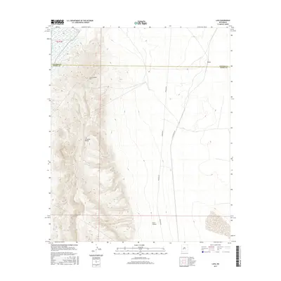
2017 Map of Lava
USGS Topo · Published 2017About this map
The Fra Cristobal Range dominates this portion of New Mexico, with its high ridge-lines running north to south along the western edge of the map. Rising above the desert floor, Fra Cristobal Mtn serves as a prominent landmark in a landscape defined by sharp topographic relief and drainage features like Silver Canyon. To the far northwest, the Rio Grande skirts the edge of the mountains, providing the primary water source for this arid region.
Find a feature on this map
8 named features on this map. Tap any name to fly to it.
Don’t see what you’re looking for? This feature index may not catch every label — zoom into the map to look around manually.
Map Details
Editions of this 2017 Lava Map
This is the sole edition of this map. No revisions or reprints were ever made.
Other maps of this area

1916 · Salinas Peak
USGS Topo · 1:125,000

1948 · Val Verde
USGS Topo · 1:62,500

1948 · Malpais Well
USGS Topo · 1:62,500

1954 · Tularosa
USGS Topo · 1:250,000

1958 · Tularosa
USGS Topo · 1:250,000

1961 · Paraje Well
USGS Topo · 1:24,000

1961 · Black Bluffs
USGS Topo · 1:24,000

1961 · Black Hill
USGS Topo · 1:24,000

1961 · Crocker
USGS Topo · 1:24,000

1961 · Lava
USGS Topo · 1:24,000