2024 Map of Lavaca
USGS Topo · Published 2024About this map
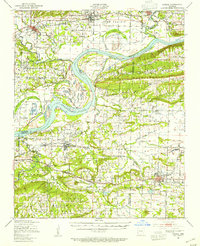
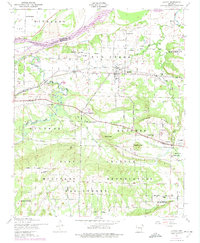
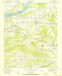
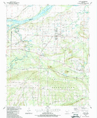
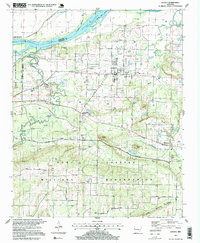
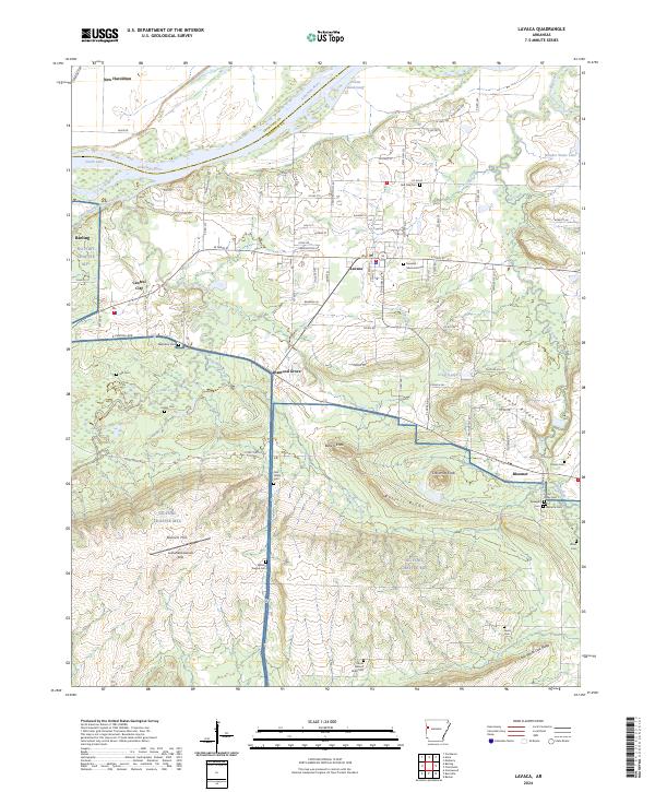
The Arkansas River defines the northern boundary of this landscape, where the Trustee Bend-Cutoff reflects the shifting hydrology of the river corridor near New Haroldton. To the south, the terrain rises into the distinct ridgelines of Butlers Ridge and Bloomer Ridge, framing a region defined by small settlements and family-named cemeteries. Extensive military lands belonging to NG Fort Chaffee MTC occupy much of the southern half of the map, including specialized features like the Arrowhead Assault Strip and various named summits such as Biswell Hill.
Find a feature on this map
97 named features on this map. Tap any name to fly to it.
Don’t see what you’re looking for? This feature index may not catch every label — zoom into the map to look around manually.
Map Details
Editions of this 2024 Lavaca Map
This is the sole edition of this map. No revisions or reprints were ever made.
Historical Maps of Diamond Grove Through Time
8 maps found