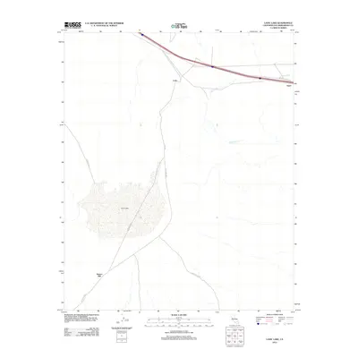
2012 Map of Lavic Lake
USGS Topo · Published 2012About this map
Lavic Lake dominates this arid high-desert landscape in San Bernardino County, where seasonal drainage patterns are etched across the basin floor. The map documents a critical infrastructure corridor along the northern edge, where the National Trails Hwy and interstate routes pass through the small settlements of Lavic and Argos. These tiny outposts represent the historic transit lifeline across the Mojave, often following the path of earlier rail routes. South of these transit points, the terrain shifts into the expansive training grounds of the 29 Palms MCAG. This military presence is anchored near Kenton Mill, a site of former industrial activity that marks the transition from the transportation corridor to the remote desert interior. The ephemeral Argos Wash drains toward the lake bed, illustrating the natural hydrology that has dictated the placement of roads and settlements in this challenging environment.
Find a feature on this map
10 named features on this map. Tap any name to fly to it.
Don’t see what you’re looking for? This feature index may not catch every label — zoom into the map to look around manually.
Map Details
Editions of this 2012 Lavic Lake Map
This is the sole edition of this map. No revisions or reprints were ever made.
Other maps of this area
1953 · San Bernardino
USGS Topo · 1:250,000
1954 · Galway Lake
USGS Topo · 1:24,000
1955 · Ludlow
USGS Topo · 1:24,000
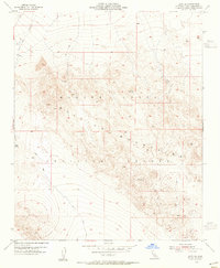
1955 · Lavic SE
USGS Topo · 1:24,000
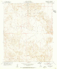
1955 · Morgans Well
USGS Topo · 1:24,000
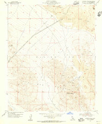
1955 · Sunshine Peak
USGS Topo · 1:24,000
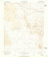
1955 · Lavic Lake
USGS Topo · 1:24,000
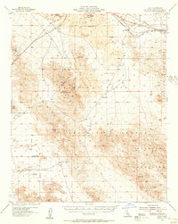
1955 · Lavic
USGS Topo · 1:62,500
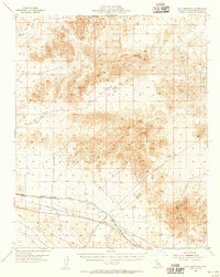
1955 · Cady Mountains
USGS Topo · 1:62,500
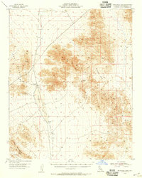
1955 · Broadwell Lake
USGS Topo · 1:62,500