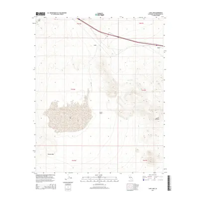
2015 Map of Lavic Lake
USGS Topo · Published 2015About this map
Kenton Mill sits at the southwestern edge of this desert landscape, where industrial activity met the vast expanse of the Mojave Desert. The area is defined by its dramatic geological features, most notably the Pisgah Crater and the stark, flat basin of Lavic Lake. This 2015 survey shows a network of transportation and drainage, with the ephemeral Argos Wash cutting through the terrain toward the northeastern settlements.
Find a feature on this map
15 named features on this map. Tap any name to fly to it.
Don’t see what you’re looking for? This feature index may not catch every label — zoom into the map to look around manually.
Map Details
Editions of this 2015 Lavic Lake Map
This is the sole edition of this map. No revisions or reprints were ever made.
Other maps of this area

1953 · San Bernardino
USGS Topo · 1:250,000

1954 · Galway Lake
USGS Topo · 1:24,000

1955 · Ludlow
USGS Topo · 1:24,000

1955 · Lavic SE
USGS Topo · 1:24,000

1955 · Morgans Well
USGS Topo · 1:24,000

1955 · Sunshine Peak
USGS Topo · 1:24,000

1955 · Lavic Lake
USGS Topo · 1:24,000

1955 · Lavic
USGS Topo · 1:62,500

1955 · Cady Mountains
USGS Topo · 1:62,500

1955 · Broadwell Lake
USGS Topo · 1:62,500