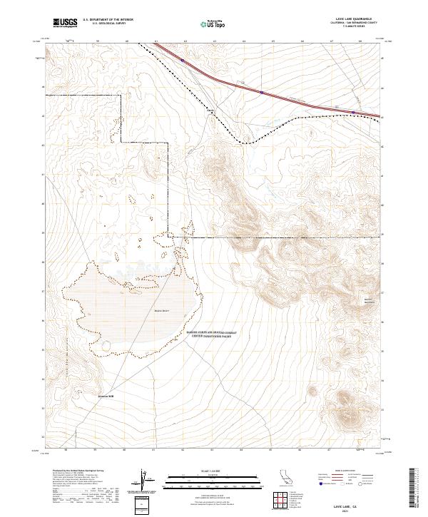
2021 Map of Lavic Lake
USGS Topo · Published 2021About this map
Kenton Mill sits on the southern edge of this arid landscape, a reminder of the industrial history that persists in the deep Mojave Desert. The map captures a section of the high desert defined by significant volcanic and tectonic landforms, including the dark slopes of the Lava Bed Mountains to the west and the Bullion Mountains to the east. Modern infrastructure cuts across this ancient terrain, most notably the National Trails Hwy, which follows the historic corridor of travel through the region.
Find a feature on this map
15 named features on this map. Tap any name to fly to it.
Don’t see what you’re looking for? This feature index may not catch every label — zoom into the map to look around manually.
Map Details
Editions of this 2021 Lavic Lake Map
This is the sole edition of this map. No revisions or reprints were ever made.
Other maps of this area

1953 · San Bernardino
USGS Topo · 1:250,000

1954 · Galway Lake
USGS Topo · 1:24,000

1955 · Ludlow
USGS Topo · 1:24,000

1955 · Lavic SE
USGS Topo · 1:24,000

1955 · Morgans Well
USGS Topo · 1:24,000

1955 · Sunshine Peak
USGS Topo · 1:24,000

1955 · Lavic Lake
USGS Topo · 1:24,000

1955 · Lavic
USGS Topo · 1:62,500

1955 · Cady Mountains
USGS Topo · 1:62,500

1955 · Broadwell Lake
USGS Topo · 1:62,500