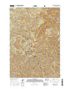
2017 Map of Lawhead Creek
USGS Topo · Published 2017About this map
Willamette National Forest dominates this section of the Cascade Range, where heavy timber and steep drainage systems define the landscape. The northern boundary is marked by the significant water management infrastructure of the North Santiam River canyon, including the upper reaches of Big Cliff Reservoir and the western edge of Detroit Lake. High elevation points such as Monument Peak and the Palisades provide a dramatic backdrop to the dense network of forest service roads, including Nat For Dev Rd 101, which facilitate access for logging and conservation. The map reveals an intricate hydrology of tributary streams like Lawhead Cr and Thomas Cr that flow through narrow valleys and gulches like Packers Gulch. This 2017 survey reflects a modern era of forest management where recreation and resource protection are balanced across the rugged terrain of Linn and Marion counties.
Find a feature on this map
35 named features on this map. Tap any name to fly to it.
Don’t see what you’re looking for? This feature index may not catch every label — zoom into the map to look around manually.
Map Details
Editions of this 2017 Lawhead Creek Map
This is the sole edition of this map. No revisions or reprints were ever made.
Other maps of this area

1929 · Mill City
USGS Topo · 1:125,000

1953 · Salem
USGS Topo · 1:250,000

1954 · Salem
USGS Topo · 1:250,000

1955 · Mill City
USGS Topo · 1:62,500

1956 · Quartzville
USGS Topo · 1:62,500

1956 · Battle Ax
USGS Topo · 1:62,500

1956 · Detroit
USGS Topo · 1:62,500

1960 · Salem
USGS Topo · 1:250,000

1962 · Salem
USGS Topo · 1:250,000

1963 · Salem
USGS Topo · 1:250,000