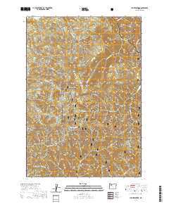
2020 Map of Lawhead Creek
USGS Topo · Published 2020About this map
Willamette National Forest lands dominate this part of the Cascades, where steep drainages and high points define the watershed north of the North Santiam River corridor. Elevation reaches its height at Monument Peak and the nearby Palisades, while the eastern edge of the quadrangle is marked by Slate Rock. The intricate drainage system includes the headwaters and tributaries of Thomas Cr, Lawhead Cr, and Rock Cr, revealing the dissected nature of the local plateau. Access into these timberlands is recorded via forest routes such as Green Mt Rd and Monument Peak Rd, with a Locked Gate noted near the upper reaches of Sevenmile Cr. This 2020 data captures the modern management of these public lands, including the boundary line between Marion Co and Linn Co that cuts across the northern ridges.
Find a feature on this map
37 named features on this map. Tap any name to fly to it.
Don’t see what you’re looking for? This feature index may not catch every label — zoom into the map to look around manually.
Map Details
Editions of this 2020 Lawhead Creek Map
This is the sole edition of this map. No revisions or reprints were ever made.
Other maps of this area

1929 · Mill City
USGS Topo · 1:125,000

1953 · Salem
USGS Topo · 1:250,000

1954 · Salem
USGS Topo · 1:250,000

1955 · Mill City
USGS Topo · 1:62,500

1956 · Quartzville
USGS Topo · 1:62,500

1956 · Battle Ax
USGS Topo · 1:62,500

1956 · Detroit
USGS Topo · 1:62,500

1960 · Salem
USGS Topo · 1:250,000

1962 · Salem
USGS Topo · 1:250,000

1963 · Salem
USGS Topo · 1:250,000