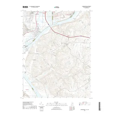
2019 Map of Lawrenceburg
USGS Topo · Published 2019About this map
Lawrenceburg and the surrounding river bottomlands are defined by the convergence of the Ohio River, Great Miami River, and Tanners Creek. This borderland where Indiana, Kentucky, and Ohio meet displays a complex network of transportation and early settlement patterns, from the street grids of Aurora and Greendale to the rural expanses of Petersburg and Idlewild. The terrain shifts from the prominent Ludlow Hill and Ft Hill down to the fertile flats near Oldtown. Genealogists will find a wealth of burial sites including Greendale Cem, Dinsmore Cem, and the Petersburg Cem. The presence of the Lawrenceburg Ferry Rd and the S Lawrenceburg Section of the railroad reflects the historical reliance on both water and rail to move goods through this tri-state corridor. Institutional history is noted at College Hill, while modern infrastructure is represented by the Sunrise Acres Airport.
Find a feature on this map
131 named features on this map. Tap any name to fly to it.
Don’t see what you’re looking for? This feature index may not catch every label — zoom into the map to look around manually.
Map Details
Editions of this 2019 Lawrenceburg Map
This is the sole edition of this map. No revisions or reprints were ever made.
Other maps of this area

1914 · West Cincinnati
USGS Topo · 1:62,500

1915 · Lawrenceburg
USGS Topo · 1:48,000

1928 · Lawrenceburg
USGS Topo · 1:62,500

1932 · Lawrenceburg
USGS Topo · 1:62,500

1943 · Aberdeen
USGS Topo · 1:24,000

1943 · Aurora
USGS Topo · 1:24,000

1943 · Rising Sun
USGS Topo · 1:24,000

1943 · Hooven
USGS Topo · 1:24,000

1943 · Guilford
USGS Topo · 1:24,000

1943 · Lawrenceburg
USGS Topo · 1:24,000