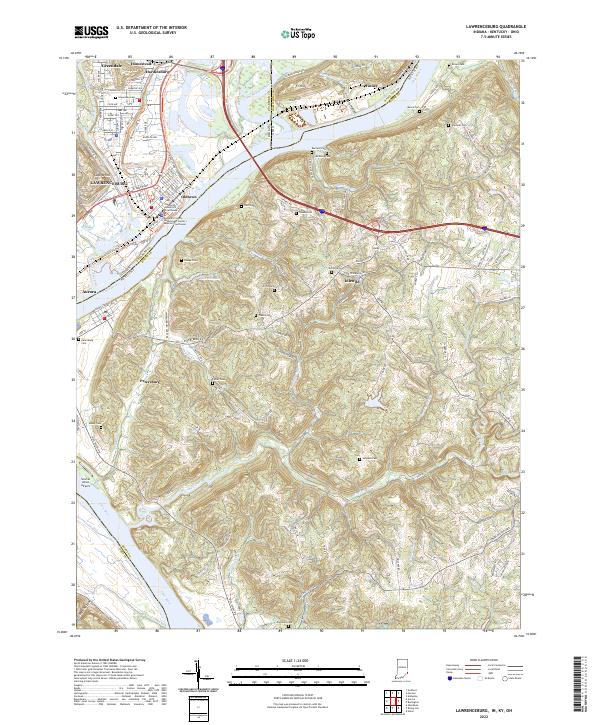
2022 Map of Lawrenceburg
USGS Topo · Published 2022About this map
Lawrenceburg and the surrounding river bottomlands sit at the complex confluence where the Great Miami River joins the Ohio River. This landscape is defined by the sharp transition from the broad, industrial river corridors to the steep, dissected uplands of Dearborn and Boone counties. The infrastructure of the CSX Transportation rail lines and roads like W Eads Pkwy support the urban centers of Greendale, Aurora, and Oldtown. Higher elevations such as Ludlow Hill and Ft Hill provide a natural boundary to the valley floor, while the southern portion of the sheet is dominated by the winding course of Woolper Creek. Genealogists will find a high density of family burial sites scattered across the ridges, including the Graves, Piatt, and Dinsmore cemeteries, reflecting the deep-rooted settlement patterns of the tri-state area where Indiana and Ohio meet Kentucky.
Find a feature on this map
114 named features on this map. Tap any name to fly to it.
Don’t see what you’re looking for? This feature index may not catch every label — zoom into the map to look around manually.
Map Details
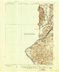
Editions of this 2022 Lawrenceburg Map
This is the sole edition of this map. No revisions or reprints were ever made.
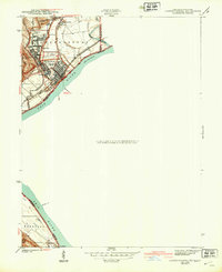
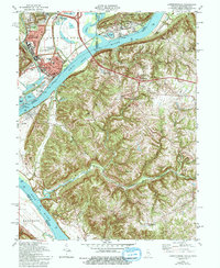
Historical Maps of Miami Township Through Time
6 maps found


Featured Locations
- Miami Township, OH
- Burlington, KY
- Aurora, Center Township
- Greendale, Lawrenceburg Township
- Lawrenceburg, Lawrenceburg Township