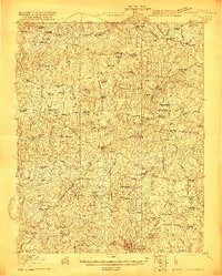
1920 Map of Lawrenceville
USGS Topo · Published 1920About this map
Lawrenceville and the surrounding Brunswick County countryside are defined by a complex intersection of early 20th-century transportation networks, where the Southern Railway, Virginian Railway, and Seaboard Air Line converge. This survey, conducted just after the First World War, captures a landscape in transition, where established hubs like Alberta and Dolphin are linked by numerous mills such as Price Mill and Harpers Mill. The map provides significant genealogical value by documenting the era’s segregated social infrastructure, clearly labeling the Little Mount Church (Colored), Mt Zion School (Colored), and St James School (Colored).
Find a feature on this map
99 named features on this map. Tap any name to fly to it.
Don’t see what you’re looking for? This feature index may not catch every label — zoom into the map to look around manually.
Map Details
Editions of this 1920 Lawrenceville Map
This is the sole edition of this map. No revisions or reprints were ever made.
Other maps of this area

1891 · Farmville
USGS Topo · 1:125,000
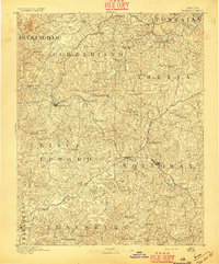
1893 · Farmville
USGS Topo · 1:125,000
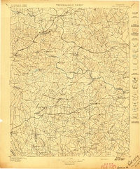
1897 · Amelia
USGS Topo · 1:125,000
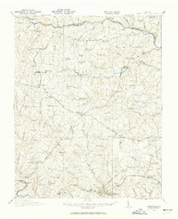
1918 · Lawrenceville
USGS Topo · 1:62,500
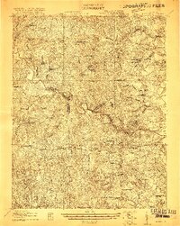
1919 · Mc Kenney
USGS Topo · 1:48,000
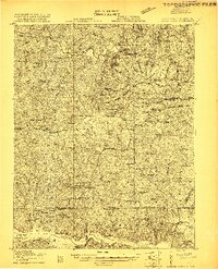
1919 · White Plains
USGS Topo · 1:48,000
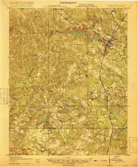
1919 · Emporia
USGS Topo · 1:62,500
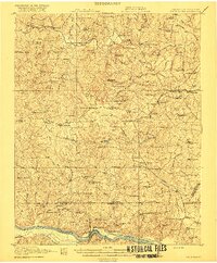
1920 · White Plains
USGS Topo · 1:62,500
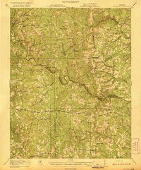
1921 · Mc Kenney
USGS Topo · 1:62,500
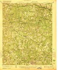
1921 · Lawrenceville
USGS Topo · 1:62,500