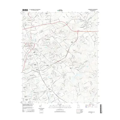
2014 Map of Lawrenceville
USGS Topo · Published 2014About this map
Lawrenceville and its surrounding suburban communities are documented here during a period of significant residential expansion in Gwinnett County. The landscape is a network of developed neighborhoods such as Saddlewood, Waverly Woods, and Graystone, woven between numerous small lakes and the upper reaches of the Yellow River and Alcovy River. This era shows a high concentration of established family and church cemeteries, including the Dacula Baptist Cem and New Hope Methodist Cem, which offer significant value for genealogical research.
Find a feature on this map
59 named features on this map. Tap any name to fly to it.
Don’t see what you’re looking for? This feature index may not catch every label — zoom into the map to look around manually.
Map Details
Editions of this 2014 Lawrenceville Map
This is the sole edition of this map. No revisions or reprints were ever made.
Other maps of this area

1888 · Atlanta
USGS Topo · 1:125,000

1890 · Suwanee
USGS Topo · 1:125,000

1890 · Atlanta
USGS Topo · 1:125,000

1891 · Gainesville
USGS Topo · 1:125,000

1892 · Atlanta
USGS Topo · 1:125,000

1894 · Suwanee
USGS Topo · 1:125,000

1895 · Atlanta
USGS Topo · 1:125,000

1896 · Monroe
USGS Topo · 1:125,000

1953 · Atlanta
USGS Topo · 1:250,000

1953 · Athens
USGS Topo · 1:250,000