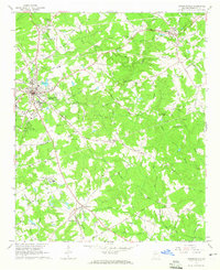
1964 Map of Lawrenceville
USGS Topo · Published 1965About this map
Lawrenceville serves as the focal point of this mid-1960s Gwinnett County landscape, showing the town's expansion along the Seaboard Air Line railroad. The map documents a blend of established civic infrastructure, such as the County Hospital and Hooper Renwick School, alongside rural religious and agricultural centers. Notable for local history is the Lawrenceville Campground to the north and the specialized Animal Breeding and Holding Facility U S Reservation to the southwest, indicating the area's transition toward more institutional land use.
Find a feature on this map
80 named features on this map. Tap any name to fly to it.
Don’t see what you’re looking for? This feature index may not catch every label — zoom into the map to look around manually.
Map Details
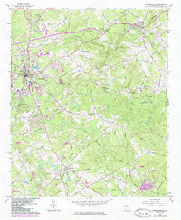
Editions of this 1964 Lawrenceville Map
2 editions found
Other maps of this area

1888 · Atlanta
USGS Topo · 1:125,000

1890 · Suwanee
USGS Topo · 1:125,000

1890 · Atlanta
USGS Topo · 1:125,000

1891 · Gainesville
USGS Topo · 1:125,000

1892 · Atlanta
USGS Topo · 1:125,000

1894 · Suwanee
USGS Topo · 1:125,000

1895 · Atlanta
USGS Topo · 1:125,000

1896 · Monroe
USGS Topo · 1:125,000

1953 · Atlanta
USGS Topo · 1:250,000

1953 · Athens
USGS Topo · 1:250,000