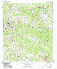
1964 Map of Lawrenceville
USGS Topo · Published 1985About this map
Lawrenceville serves as the focal point of this mid-1960s survey, showing a period of transition as the community expanded outward along the Seaboard rail line and established roads like Old Athens Road. The town center is densely detailed, featuring the Central High School, County Hospital, and Shadowlawn Cemetery. To the north, the Lawrenceville Campground and Walnut Grove Church mark traditional social hubs, while the County Airport indicates the growing infrastructure of the era.
Find a feature on this map
60 named features on this map. Tap any name to fly to it.
Don’t see what you’re looking for? This feature index may not catch every label — zoom into the map to look around manually.
Map Details
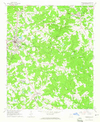
Editions of this 1964 Lawrenceville Map
2 editions found
Other maps of this area

1888 · Atlanta
USGS Topo · 1:125,000

1890 · Suwanee
USGS Topo · 1:125,000

1890 · Atlanta
USGS Topo · 1:125,000

1891 · Gainesville
USGS Topo · 1:125,000

1892 · Atlanta
USGS Topo · 1:125,000

1894 · Suwanee
USGS Topo · 1:125,000

1895 · Atlanta
USGS Topo · 1:125,000

1896 · Monroe
USGS Topo · 1:125,000

1953 · Atlanta
USGS Topo · 1:250,000

1953 · Athens
USGS Topo · 1:250,000