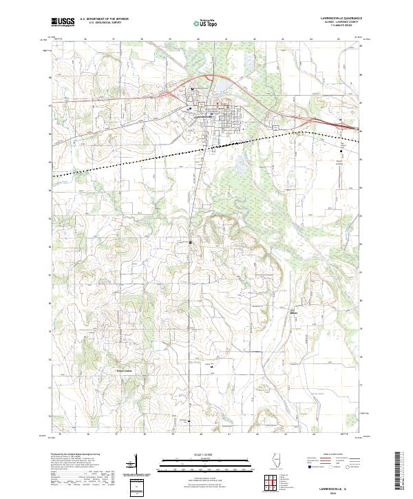
2024 Map of Lawrenceville
USGS Topo · Published 2024About this map
The Lawrence County Court House serves as the focal point of this Illinois landscape, which centers on the seat of Lawrence County. The Embarras River snakes across the northern and eastern portions of the map, accompanied by its Old Channel Embarras River, revealing a complex hydrological history of shifting river paths and drainage management. This network is further supported by man-made channels like Beaver Pond Ditch and England Ditch, which drain the low-lying areas south of the main town center. For genealogists, the map is particularly rich with small burial grounds including Buchanan Cem, May Chapel Cem, and Hollister Cem. Rural settlements and intersections like Piper's Landing, Billett, and Grays Corner define the outlying agricultural areas, connected by a grid of numbered roads and named ways such as W Haven Rd and Old Porter Ave.
Find a feature on this map
66 named features on this map. Tap any name to fly to it.
Don’t see what you’re looking for? This feature index may not catch every label — zoom into the map to look around manually.
Map Details
Editions of this 2024 Lawrenceville Map
This is the sole edition of this map. No revisions or reprints were ever made.
Other maps of this area

1910 · Hardinville
USGS Topo · 1:62,500

1911 · Sumner
USGS Topo · 1:62,500

1913 · Sumner
USGS Topo · 1:62,500

1915 · Vincennes
USGS Topo · 1:62,500

1917 · Birds
USGS Topo · 1:62,500

1942 · Birds
USGS Topo · 1:62,500

1944 · Vincennes
USGS Topo · 1:62,500

1956 · Vincennes
USGS Topo · 1:250,000

1957 · Vincennes
USGS Topo · 1:250,000

1958 · Vincennes
USGS Topo · 1:250,000