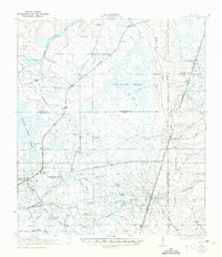
1918 Map of Lawtey
USGS Topo · Published 1942About this map
Trail Ridge and Clay Hill define the eastern elevation of this North Florida landscape, where the Seaboard Air Line and Atlantic Coast Line railroads intersect a terrain dominated by the New River Swamp. The 1917 survey reveals a rural network of named schools and churches that served scattered agricultural communities, including the Vanderbilt School and Evergreen Church. The presence of the Bradford Farms (State Prison) near Raiford marks a significant institutional footprint in the western portion of the quadrangle. Waterways like the Sanderson River and Alligator Creek drain the lowlands, while established routes like Kingsley Lake Road and Middleburg Road connect the primary settlements of Lawtey, Maxville, and Highland. This map provides a detailed view of the region's early 20th-century development before modern highway expansions changed the character of these interior settlements.
Find a feature on this map
59 named features on this map. Tap any name to fly to it.
Don’t see what you’re looking for? This feature index may not catch every label — zoom into the map to look around manually.
Map Details
Editions of this 1918 Lawtey Map
5 editions found
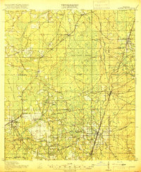
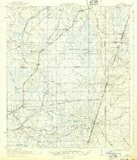
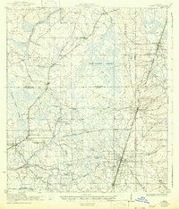
Other maps of this area

1917 · Cambon
USGS Topo · 1:62,500

1917 · Macclenny
USGS Topo · 1:62,500

1918 · Middleburg
USGS Topo · 1:62,500

1918 · Lawtey
USGS Topo · 1:62,500

1918 · Cambon
USGS Topo · 1:62,500

1918 · Macclenny
USGS Topo · 1:62,500

1941 · Starke
USGS Topo · 1:62,500

1941 · Middleburg
USGS Topo · 1:62,500

1942 · Ates Creek
USGS Topo · 1:62,500

1948 · Starke
USGS Topo · 1:50,000