
1918 Map of Lawtey
USGS Topo · Published 1918About this map
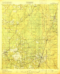
Lawtey and the surrounding piney flatwoods of Bradford County are defined by a network of early twentieth-century rail lines and small rural schoolhouses. The Seaboard Airline and Georgia Southern and Florida railroads anchor the local economy, connecting settlements like Raiford and Maxville through the dense New River Swamp. This period shows a landscape deeply integrated with agricultural and institutional life, notably featuring the Bradford Farms (State Prison) and its namesake Bradford Farms Junction.
Find a feature on this map
57 named features on this map. Tap any name to fly to it.
Don’t see what you’re looking for? This feature index may not catch every label — zoom into the map to look around manually.
Map Details
Editions of this 1918 Lawtey Map
5 editions found
Other maps of this area

1917 · Cambon
USGS Topo · 1:62,500

1917 · Macclenny
USGS Topo · 1:62,500

1918 · Middleburg
USGS Topo · 1:62,500

1918 · Cambon
USGS Topo · 1:62,500

1918 · Macclenny
USGS Topo · 1:62,500

1941 · Starke
USGS Topo · 1:62,500

1941 · Middleburg
USGS Topo · 1:62,500

1942 · Ates Creek
USGS Topo · 1:62,500

1948 · Starke
USGS Topo · 1:50,000

1948 · Jacksonville
USGS Topo · 1:250,000