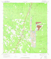
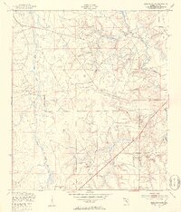
1970 Map of Lawtey
USGS Topo · Published 1973About this map
Lawtey and the surrounding piney flatwoods of northern Florida appear here during a period of transition in the early 1970s. The landscape is defined by the Trail Ridge physiographic feature, where heavy mineral mining operations have left large Mine Dumps and tailing ponds along the Bradford and Clay County line. The Seaboard Coast Line railroad serves as the primary spine of the region, passing through the settlements of Highland and Saxton. A significant portion of the eastern landscape is occupied by the Camp Blanding (Inactive) military reservation, showing the vast Jeep Trails used for training maneuvers. Smaller community landmarks like the Anderson Sch and local cemeteries provide critical points of reference for genealogists tracing families in this rural corridor between the scattered creek drainages of Water Oak Creek and Mill Branch.
Find a feature on this map
18 named features on this map. Tap any name to fly to it.
Don’t see what you’re looking for? This feature index may not catch every label — zoom into the map to look around manually.
Map Details
Editions of this 1970 Lawtey Map
4 editions found
Other maps of this area

1918 · Middleburg
USGS Topo · 1:62,500

1918 · Lawtey
USGS Topo · 1:62,500

1941 · Starke
USGS Topo · 1:62,500

1941 · Middleburg
USGS Topo · 1:62,500

1942 · Ates Creek
USGS Topo · 1:62,500

1948 · Starke
USGS Topo · 1:50,000

1948 · Jacksonville
USGS Topo · 1:250,000
1949 · Middleburg SW
USGS Topo · 1:24,000

1949 · Sampson
USGS Topo · 1:24,000

1949 · Fiftone
USGS Topo · 1:24,000