Loading...
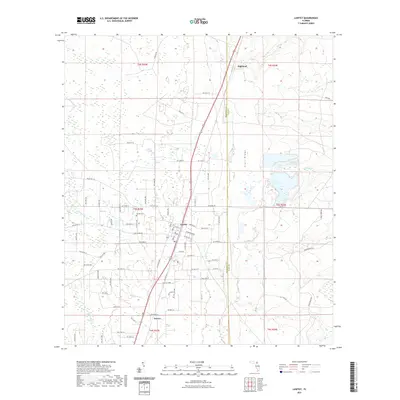
Loading map...1970 Map of Lawtey
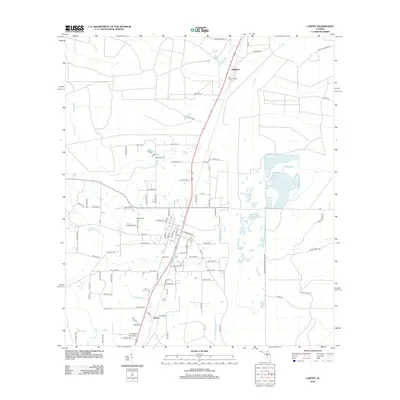
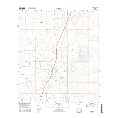
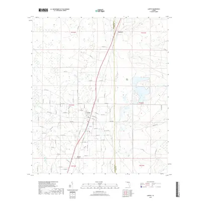
USGS Topo · Published 1993About this map
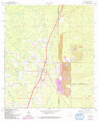
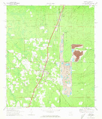
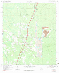
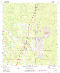
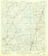
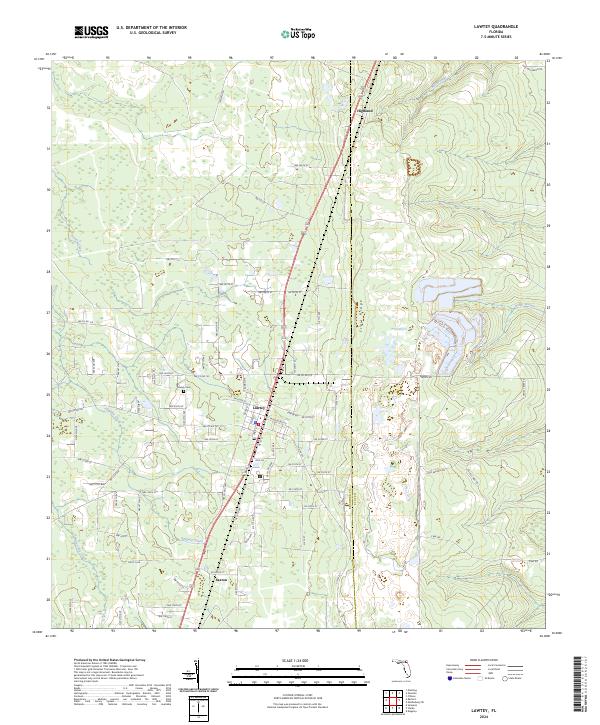
The town of Lawtey serves as the central hub of this 1970 survey, bisected by a prominent rail corridor and highway system that connects it to the smaller settlements of Highland and Saxton. This North Florida landscape is defined by the geological presence of Trail Ridge, an elevated sandy feature that runs vertically through the quadrangle. The eastern section of the map reveals the extensive grounds of Camp Blanding, marked by its Military Reservation Boundary.
Find a feature on this map
19 named features on this map. Tap any name to fly to it.
Don’t see what you’re looking for? This feature index may not catch every label — zoom into the map to look around manually.
Map Details
Date Portrayed1970
Date Published1993
PublisherU.S. Geological Survey
Map TypeTopographic
Scale1:24,000
Physical Dimensions21.9 x 26.8 inches
Editions of this 1970 Lawtey Map
4 editions found
Historical Maps of Lawtey Through Time
7 maps found
Featured Locations
Source Details
SourceU.S. Geological Survey
CopyrightPublic Domain