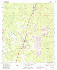
1970 Map of Lawtey
USGS Topo · Published 1988About this map
The Trail Ridge formation dominates this portion of North Florida, serving as a backdrop for the region's industrial and military landscape in the early 1970s. The town of Lawtey sits at the center of the survey, anchored by the Seaboard Coast Line railroad and the Anderson Sch. To the north, the small settlement of Highland is marked by a Cem and a prominent Lookout Tower, while the southern reaches include the community of Saxton.
Find a feature on this map
19 named features on this map. Tap any name to fly to it.
Don’t see what you’re looking for? This feature index may not catch every label — zoom into the map to look around manually.
Map Details
Editions of this 1970 Lawtey Map
4 editions found
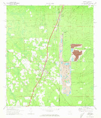
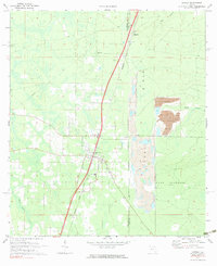
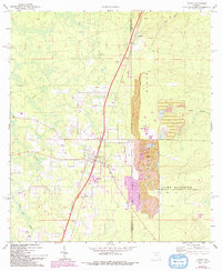
Other maps of this area

1918 · Middleburg
USGS Topo · 1:62,500

1918 · Lawtey
USGS Topo · 1:62,500

1941 · Starke
USGS Topo · 1:62,500

1941 · Middleburg
USGS Topo · 1:62,500

1942 · Ates Creek
USGS Topo · 1:62,500

1948 · Starke
USGS Topo · 1:50,000

1948 · Jacksonville
USGS Topo · 1:250,000

1949 · Middleburg SW
USGS Topo · 1:24,000

1949 · Sampson
USGS Topo · 1:24,000

1949 · Fiftone
USGS Topo · 1:24,000