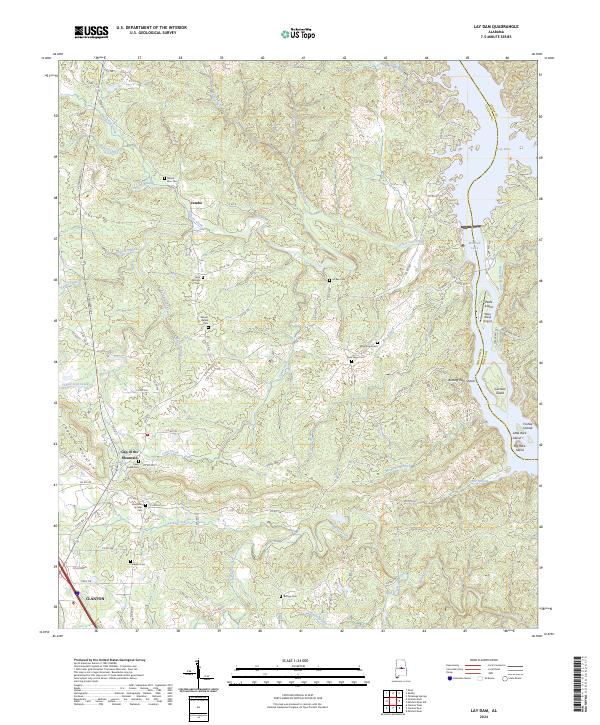
2024 Map of Lay Dam
USGS Topo · Published 2024About this map
Jumbo and the northern outskirts of Clanton anchor this detailed study of the riverine border between Chilton and Coosa counties. The landscape is defined by the impounded waters of the Coosa River, specifically Lay Lake and Mitchell Lake, where numerous landforms like Ware Island and the Foshee Islands emerge from the flooded valley. This modern survey provides a clear view of the complex hydrology feeding these reservoirs, including Yellow Leaf Creek, Cane Creek, and Walnut Creek.
Find a feature on this map
108 named features on this map. Tap any name to fly to it.
Don’t see what you’re looking for? This feature index may not catch every label — zoom into the map to look around manually.
Map Details
Editions of this 2024 Lay Dam Map
This is the sole edition of this map. No revisions or reprints were ever made.
Other maps of this area

1890 · Bessemer
USGS Topo · 1:125,000

1890 · Talladega
USGS Topo · 1:125,000

1891 · Clanton
USGS Topo · 1:125,000

1892 · Talladega
USGS Topo · 1:125,000

1892 · Bessemer
USGS Topo · 1:125,000

1901 · Wetumpka
USGS Topo · 1:125,000

1903 · Wetumpka
USGS Topo · 1:125,000

1909 · Columbiana
USGS Topo · 1:62,500

1911 · Columbiana
USGS Topo · 1:62,500

1915 · Gantts Quarry
USGS Topo · 1:48,000