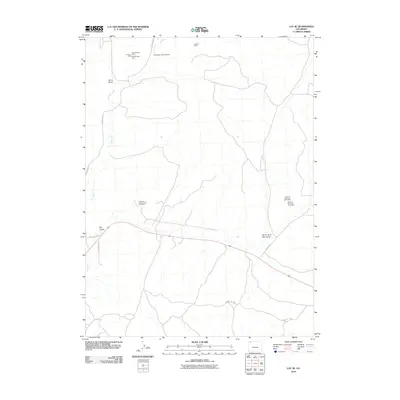
2010 Map of Lay SE
USGS Topo · Published 2010About this map
Hammontree Mine and Emerson Mine sit among a cluster of extractive sites in this high-desert portion of Moffat County during the early 21st century. The landscape is defined by its drainages, including Lay Creek and the deep cuts of Bord Gulch and Big Gulch. Industrial markers are prominent throughout the area, with numerous airborne anomaly sites such as Airborne Anomaly 56-13 Mine indicating the ongoing mineral exploration and geologic survey activity in the region. Transportation is facilitated by rural routes like County Rd-17 and Big Gulch Ave, which connect the scattered mining operations across the arid terrain. The map provides a detailed view of the North Fork drainage system, specifically at North Fork Big Gulch, illustrating the intersection of natural topography and industrial utility.
Find a feature on this map
17 named features on this map. Tap any name to fly to it.
Don’t see what you’re looking for? This feature index may not catch every label — zoom into the map to look around manually.
Map Details
Editions of this 2010 Lay SE Map
This is the sole edition of this map. No revisions or reprints were ever made.
Other maps of this area

1910 · Danforth Hills
USGS Topo · 1:125,000

1912 · Axial
USGS Topo · 1:62,500

1914 · Axial
USGS Topo · 1:62,500

1915 · Monument Butte
USGS Topo · 1:62,500

1916 · Craig
USGS Topo · 1:125,000

1954 · Craig
USGS Topo · 1:250,000

1957 · Craig
USGS Topo · 1:250,000

1958 · Craig
USGS Topo · 1:250,000

1960 · Craig
USGS Topo · 1:250,000

1962 · Craig
USGS Topo · 1:250,000