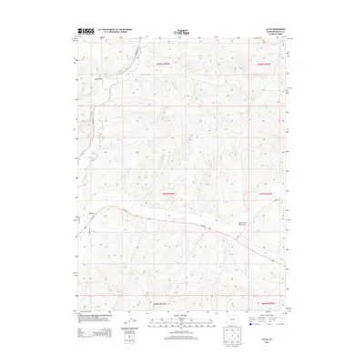
2013 Map of Lay SE
USGS Topo · Published 2013About this map
Lay Cr and its tributaries carve a network of drainage basins through this high-elevation terrain in Moffat County, where the landscape is defined by the erosion patterns of Big Gulch and Bord Gulch. This 2013 U.S. Geological Survey representation of the area reveals a sparsely settled region dominated by open range and topographical relief, with the North Fork Big Gulch cutting through the southeastern quadrant. The modern transportation network is anchored by Us-40 W, which traverses the center of the sheet, providing a primary east-west artery through this portion of Colorado. Rural access is maintained through a system of secondary routes, including CO Road 17 and Lay Creek Dr, which follow the natural contours of the stream valleys and ridge lines. The map also clearly delineates the Public Land Survey System boundaries, specifically showing the intersection of Townships 6, 7, and 8 North.
Find a feature on this map
17 named features on this map. Tap any name to fly to it.
Don’t see what you’re looking for? This feature index may not catch every label — zoom into the map to look around manually.
Map Details
Editions of this 2013 Lay SE Map
This is the sole edition of this map. No revisions or reprints were ever made.
Other maps of this area

1910 · Danforth Hills
USGS Topo · 1:125,000

1912 · Axial
USGS Topo · 1:62,500

1914 · Axial
USGS Topo · 1:62,500

1915 · Monument Butte
USGS Topo · 1:62,500

1916 · Craig
USGS Topo · 1:125,000

1954 · Craig
USGS Topo · 1:250,000

1957 · Craig
USGS Topo · 1:250,000

1958 · Craig
USGS Topo · 1:250,000

1960 · Craig
USGS Topo · 1:250,000

1962 · Craig
USGS Topo · 1:250,000