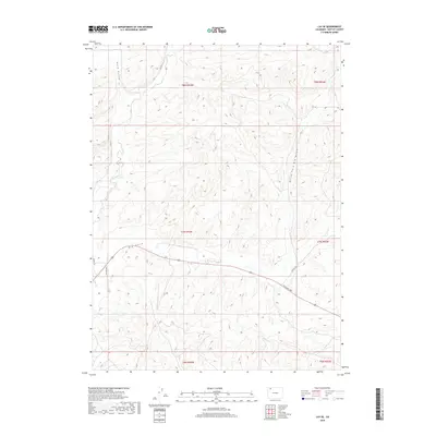
2019 Map of Lay SE
USGS Topo · Published 2019About this map
Lay Cr winds through the high desert landscape of Moffat County, defining the drainage patterns of this sparsely settled corner of northwest Colorado. This modern topographical survey illustrates the vast, arid reaches between the Great Divide and the Yampa River, where public lands predominate. The map reveals the intricate network of gulches and draws that shape the region's hydrography, offering a clear view of the natural corridors used for movement across this open range. This document is essential for understanding the modern footprint of land management and natural resources in a part of the state where the physical geography remains the primary driver of human activity.
Find a feature on this map
1 named feature on this map. Tap any name to fly to it.
Don’t see what you’re looking for? This feature index may not catch every label — zoom into the map to look around manually.
Map Details
Editions of this 2019 Lay SE Map
This is the sole edition of this map. No revisions or reprints were ever made.
Other maps of this area

1910 · Danforth Hills
USGS Topo · 1:125,000

1912 · Axial
USGS Topo · 1:62,500

1914 · Axial
USGS Topo · 1:62,500

1915 · Monument Butte
USGS Topo · 1:62,500

1916 · Craig
USGS Topo · 1:125,000

1954 · Craig
USGS Topo · 1:250,000

1957 · Craig
USGS Topo · 1:250,000

1958 · Craig
USGS Topo · 1:250,000

1960 · Craig
USGS Topo · 1:250,000

1962 · Craig
USGS Topo · 1:250,000