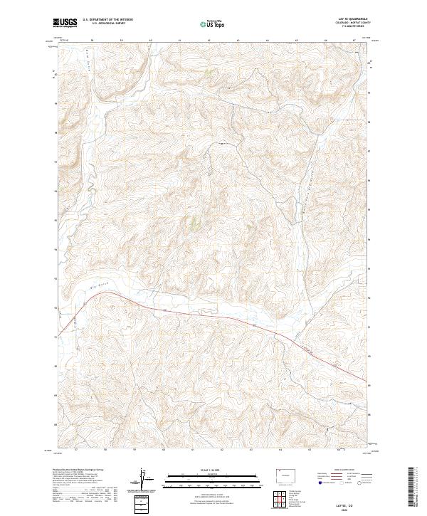
2022 Map of Lay SE
USGS Topo · Published 2022About this map
Big Gulch and the North Fork Big Gulch define the drainage patterns of this Moffat County landscape, where the high desert terrain is carved by seasonal watercourses. The 2022 survey captures a transition in modern access, centered on the east-west corridor of W Victory Way. While much of the area remains dominated by the open topography of the Public Land Survey System, specifically T7N R93W and surrounding townships, the infrastructure of rural life is evident in the network of county routes like Co Rd 17 and residential markers such as Lay Creek Dr. The confluence of Lay Cr and Bord Gulch provides a clear view of the hydraulic history of the region, illustrating how natural features have dictated the placement of historic roads and modern property boundaries in this part of northwestern Colorado.
Find a feature on this map
15 named features on this map. Tap any name to fly to it.
Don’t see what you’re looking for? This feature index may not catch every label — zoom into the map to look around manually.
Map Details
Editions of this 2022 Lay SE Map
This is the sole edition of this map. No revisions or reprints were ever made.
Other maps of this area

1910 · Danforth Hills
USGS Topo · 1:125,000

1912 · Axial
USGS Topo · 1:62,500

1914 · Axial
USGS Topo · 1:62,500

1915 · Monument Butte
USGS Topo · 1:62,500

1916 · Craig
USGS Topo · 1:125,000

1954 · Craig
USGS Topo · 1:250,000

1957 · Craig
USGS Topo · 1:250,000

1958 · Craig
USGS Topo · 1:250,000

1960 · Craig
USGS Topo · 1:250,000

1962 · Craig
USGS Topo · 1:250,000