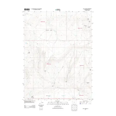
2013 Map of Lazy Y Point
USGS Topo · Published 2013About this map
Lazy Y Point stands as a prominent landmark in this high-elevation landscape of western Colorado, where drainage systems like Wolf Creek and Red Wash carve through the arid terrain. The map captures a transition between the elevated summits of Moose Head Mountain and the deep recesses of Box Canyon. Human presence is marked by seasonal sites such as the Lazy Y Summer Camp and Ramsey Summer Camp, reflecting the area's long-standing use for recreation and ranching.
Find a feature on this map
36 named features on this map. Tap any name to fly to it.
Don’t see what you’re looking for? This feature index may not catch every label — zoom into the map to look around manually.
Map Details
Editions of this 2013 Lazy Y Point Map
This is the sole edition of this map. No revisions or reprints were ever made.
Other maps of this area

1907 · Rangely
USGS Topo · 1:125,000

1910 · Rangely
USGS Topo · 1:125,000

1954 · Hells Canyon
USGS Topo · 1:24,000

1954 · Vernal
USGS Topo · 1:250,000

1958 · Vernal
USGS Topo · 1:250,000

1960 · Vernal
USGS Topo · 1:250,000

1962 · Lazy Y Point
USGS Topo · 1:24,000

1962 · Tanks Peak
USGS Topo · 1:24,000

1962 · Rangely NE
USGS Topo · 1:24,000

1962 · Cactus Reservoir
USGS Topo · 1:24,000