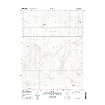
2016 Map of Lazy Y Point
USGS Topo · Published 2016About this map
Lazy Y Point stands as a central topographic marker in this western Colorado landscape, where drainage patterns define the movement of water through an arid environment. The map details an intricate network of seasonal washes and permanent water sources, including the Skyline Reservoir Number 3 and Skyline Reservoir Number 2 situated in the southern portion of the quadrangle. High points such as Moose Head Mtn and Arapahoe Rock provide significant vertical relief, while the Skull Creek Basin and Box Canyon illustrate the erosive forces that have shaped the Moffat County terrain over time.
Find a feature on this map
32 named features on this map. Tap any name to fly to it.
Don’t see what you’re looking for? This feature index may not catch every label — zoom into the map to look around manually.
Map Details
Editions of this 2016 Lazy Y Point Map
This is the sole edition of this map. No revisions or reprints were ever made.
Other maps of this area

1907 · Rangely
USGS Topo · 1:125,000

1910 · Rangely
USGS Topo · 1:125,000

1954 · Hells Canyon
USGS Topo · 1:24,000

1954 · Vernal
USGS Topo · 1:250,000

1958 · Vernal
USGS Topo · 1:250,000

1960 · Vernal
USGS Topo · 1:250,000

1962 · Lazy Y Point
USGS Topo · 1:24,000

1962 · Tanks Peak
USGS Topo · 1:24,000

1962 · Rangely NE
USGS Topo · 1:24,000

1962 · Cactus Reservoir
USGS Topo · 1:24,000