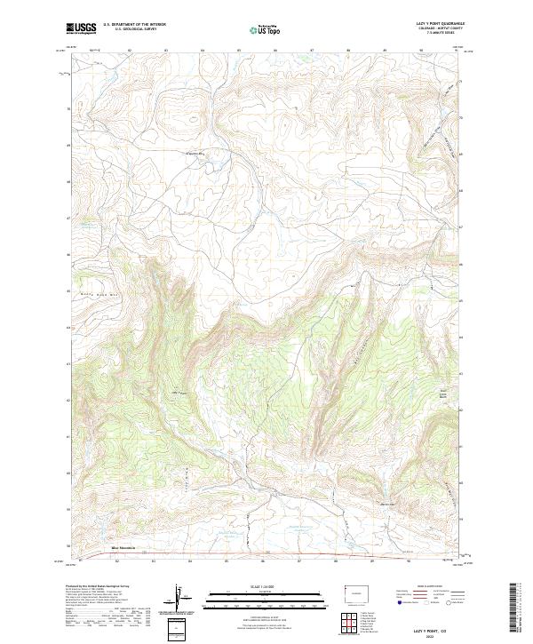
2022 Map of Lazy Y Point
USGS Topo · Published 2022About this map
Blue Mountain anchors the southern edge of this high-elevation landscape in Moffat County, where the topography transitions through deep drainages and prominent rock formations. The area is defined by the high plateau of Lazy Y Point and the complex relief of Moose Head Mtn. Essential water sources in this arid environment are marked by locations like East Moose Head Spring, Burnt Spring, and Birch Spring, while man-made improvements are evidenced by Skyline Reservoir Number 2 and Skyline Reservoir Number 3. The terrain is deeply incised by several washes and draws, including Little Red Wash and Rock Wall Draw, which channel seasonal flow toward the Skull Creek Basin. Prominent landmarks such as Arapahoe Rock and the narrow passage at Martin Gap provide orientation across a landscape largely organized by township and range boundaries and a handful of rural routes like Co RD 165.
Find a feature on this map
33 named features on this map. Tap any name to fly to it.
Don’t see what you’re looking for? This feature index may not catch every label — zoom into the map to look around manually.
Map Details
Editions of this 2022 Lazy Y Point Map
This is the sole edition of this map. No revisions or reprints were ever made.
Other maps of this area

1907 · Rangely
USGS Topo · 1:125,000

1910 · Rangely
USGS Topo · 1:125,000

1954 · Hells Canyon
USGS Topo · 1:24,000

1954 · Vernal
USGS Topo · 1:250,000

1958 · Vernal
USGS Topo · 1:250,000

1960 · Vernal
USGS Topo · 1:250,000

1962 · Lazy Y Point
USGS Topo · 1:24,000

1962 · Tanks Peak
USGS Topo · 1:24,000

1962 · Rangely NE
USGS Topo · 1:24,000

1962 · Cactus Reservoir
USGS Topo · 1:24,000