Loading...
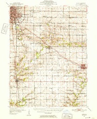
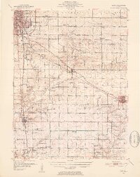
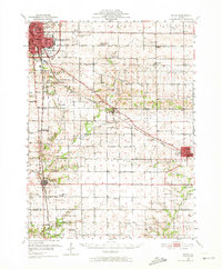
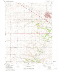
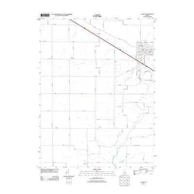
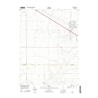
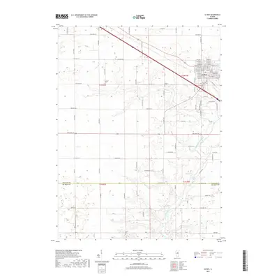
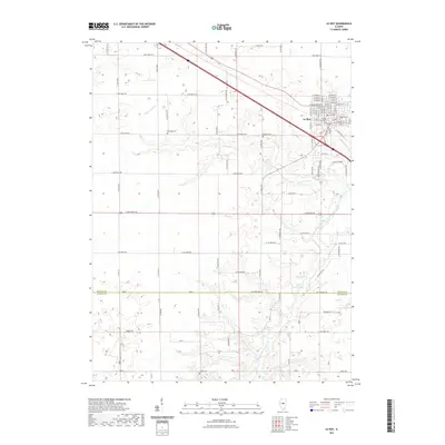
Loading map...1951 Map of Le Roy
USGS Topo · Published 1952About this map
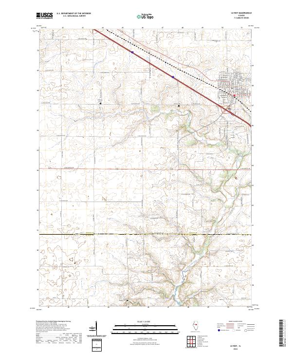
The agricultural landscape of central Illinois is defined here by the transit corridors of the Illinois Central and New York Central railroads as they converge near Le Roy. This 1950s survey captures a transition in rural education and community structure, noting several decommissioned facilities such as Prairie Union Sch and Imperial Sch. These sites, alongside numerous country cemeteries like Old Rutledge Cem and Bishop Cem, provide vital anchor points for genealogists tracing family footprints in McLean and De Witt counties.
Find a feature on this map
64 named features on this map. Tap any name to fly to it.
Don’t see what you’re looking for? This feature index may not catch every label — zoom into the map to look around manually.
Map Details
Date Portrayed1951
Date Published1952
PublisherU.S. Geological Survey
Map TypeTopographic
Scale1:62,500
Physical Dimensions16.9 x 20.8 inches
Editions of this 1951 Le Roy Map
3 editions found
Historical Maps of Bloomington Through Time
7 maps found
Featured Locations
Source Details
SourceU.S. Geological Survey
CopyrightPublic Domain