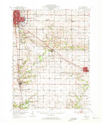
1951 Map of Le Roy
USGS Topo · Published 1972About this map
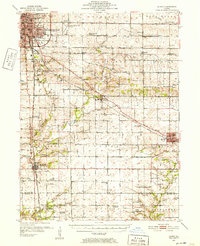
Bloomington and Normal dominate the northwestern corner of this mid-century survey, showing the urban footprint before the era of interstate expansion. The landscape is a dense network of steam and electric rail lines, including the Illinois Terminal and the New York Chicago and St Louis railroads, which connect smaller grain and transit stops like Holder, Padua, and Gillum. Several rural schools, such as the Prairie Union Sch and Imperial Sch, are already noted as abandoned, marking a shift in the local educational landscape.
Find a feature on this map
84 named features on this map. Tap any name to fly to it.
Don’t see what you’re looking for? This feature index may not catch every label — zoom into the map to look around manually.
Map Details
Editions of this 1951 Le Roy Map
3 editions found
Other maps of this area

1926 · Normal
USGS Topo · 1:62,500

1927 · Danvers
USGS Topo · 1:62,500

1930 · Danvers
USGS Topo · 1:62,500

1930 · Normal
USGS Topo · 1:62,500

1937 · Monticello
USGS Topo · 1:48,000

1943 · Monticello
USGS Topo · 1:62,500

1949 · Mc Lean
USGS Topo · 1:62,500

1951 · McLean
USGS Topo · 1:62,500

1951 · Le Roy
USGS Topo · 1:62,500

1952 · Arrowsmith
USGS Topo · 1:62,500