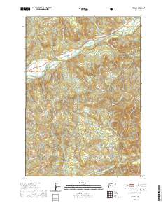
2020 Map of Leaburg
USGS Topo · Published 2020About this map
McKenzie River dominates the upper reaches of this landscape, its path shadowed by the Eugene Water and Electric Board Canal as it flows through the community of Leaburg. The settlement pattern follows the river valley, with Deerhorn situated to the west where the water bends south of Deerhorn Rd. This 2020 map documents the persistent infrastructure of the corridor, from the Greenwood Cem near Fish Hatchery Rd to the network of timber and access roads like Hills Creek Rd.
Find a feature on this map
36 named features on this map. Tap any name to fly to it.
Don’t see what you’re looking for? This feature index may not catch every label — zoom into the map to look around manually.
Map Details
Editions of this 2020 Leaburg Map
This is the sole edition of this map. No revisions or reprints were ever made.
Other maps of this area
1935 · Lowell
USGS Topo · 1:96,000
1942 · Lowell
USGS Topo · 1:125,000
1950 · Marcola
USGS Topo · 1:62,500
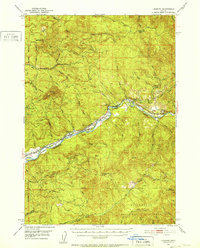
1951 · Leaburg
USGS Topo · 1:62,500
1952 · Marcola
USGS Topo · 1:62,500

1953 · Salem
USGS Topo · 1:250,000

1954 · Salem
USGS Topo · 1:250,000
1955 · Hardesty Mtn
USGS Topo · 1:62,500
1955 · Lowell
USGS Topo · 1:62,500

1958 · Roseburg
USGS Topo · 1:250,000